Despite some improvement in moisture conditions across Montana this spring, fire forecasters have identified areas of the state where above-normal wildfire potential remains a serious concern heading into the 2026 summer season. A fire outlook newsletter published June 3 flagged parts of eastern and southwestern Montana as carrying elevated risk, tied in part to a weak winter that left those regions short on the precipitation needed to suppress seasonal fire danger.
Moisture Gains Have Not Closed the Gap Everywhere
While some sections of Montana have seen moisture deficits narrow in recent months, the improvement has not been uniform. The conditions that matter most for fire behavior — snowpack depth, soil moisture, and spring precipitation — were below average through winter in the flagged areas, and that deficit does not disappear quickly even when wetter conditions arrive later in the season.
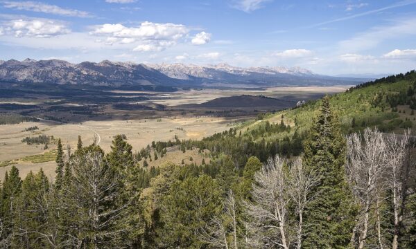
Eastern Montana and the state’s southwestern corner have historically been susceptible to early-season fire activity when winter precipitation is weak. Grasses and rangeland fuels that dry out quickly can carry fire rapidly across large stretches of terrain before summer monsoon moisture arrives, if it does at all.
The June 3 forecast raised the prospect that those conditions could materialize across both regions this year, underscoring that a partial statewide recovery in moisture levels does not translate automatically into reduced risk in the most vulnerable areas.
A Pattern of Uncertainty Heading Into Summer
The 2026 fire season has been difficult to characterize with confidence, reflecting the variability typical of Montana’s climate. Earlier this year, state officials and fire managers were already flagging concerns about snowpack and the trajectory of seasonal dryness. The Gianforte administration warned earlier this spring of above-normal fire danger across much of the state, and subsequent outlooks have continued to reflect a mixed picture — some improvement in certain areas, persistent worry in others.
That kind of uneven outlook creates planning challenges for state and federal fire agencies, which must pre-position equipment and personnel based on probabilistic forecasts that can shift quickly as summer weather patterns develop. The areas identified in the June 3 report — eastern Montana and the southwest — represent distinct fire environments. The east is dominated by open grassland and rangeland, where wind-driven fires can spread with little natural barrier. The southwest includes mountainous terrain with timber and brush fuels that can sustain longer-duration fire activity.
Context: A Season Still Taking Shape
Montana has endured several significant wildfire seasons in recent years, and the combination of a weak winter and above-normal temperature forecasts creates a familiar baseline for concern. Fire managers have noted that forecasting tools have improved, but the fundamental drivers of fire behavior — fuel moisture, wind, and temperature — remain difficult to predict months in advance.
For Montana residents and landowners in the flagged regions, the practical implications are the same as in any elevated-risk year: the window for completing prescribed burns, clearing defensible space, and preparing evacuation plans is now, before conditions deteriorate further. As previously reported, Montana entered the 2026 season with snowpack concerns and an outlook that forecasters have been reluctant to pin down with certainty.
Whether the eastern and southwestern regions ultimately see a severe season will depend heavily on summer precipitation patterns and the timing and intensity of heat events. What fire forecasters have made clear is that the moisture improvements seen elsewhere in the state have not fully reassured them about those two areas — and that heading into June, the risk picture there remains elevated.