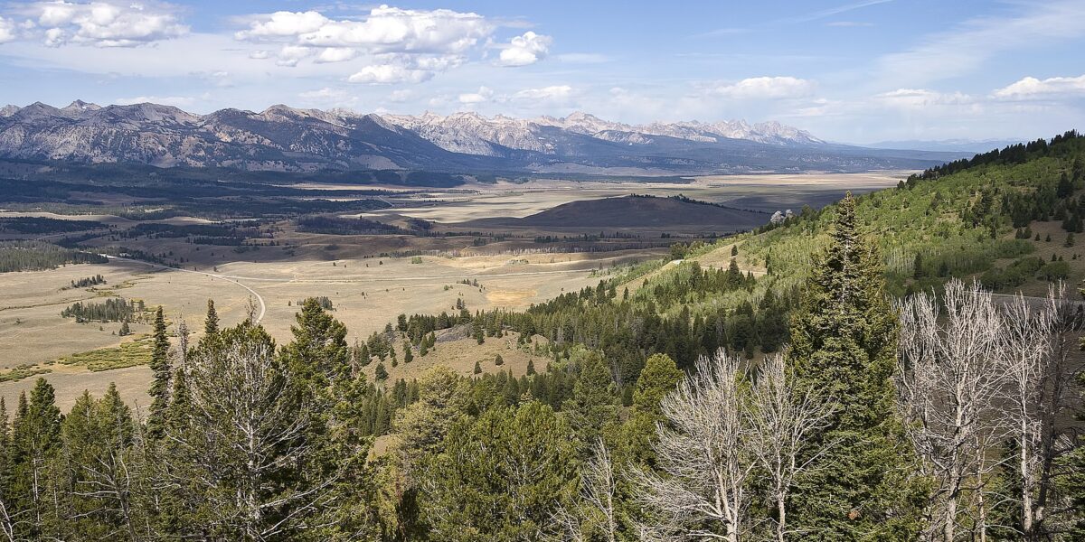
The Lolo National Forest in Montana has elevated its fire danger rating to very high, citing a stretch of hot, dry weather that is rapidly drying out vegetation across the forest. Officials warn that any new ignition could spread quickly and prove difficult for crews to contain.
What “Very High” Means on the Ground
A very high fire danger classification is not a routine precaution. Under that rating, fires can ignite from virtually any source — a spark, a cigarette, equipment — and begin spreading immediately upon ignition. The classification covers the entire Lolo National Forest, a roughly 2.1-million-acre expanse spanning much of western Montana.
Forest officials described the current situation as one in which vegetation is drying out at a rapid pace, increasing the combustibility of grasses, brush, and timber throughout the forest. The concern is not just that a fire could start, but that it could outpace initial attack efforts within minutes of ignition.
“Very high fire danger means fires can start easily from all causes and immediately spread fast as vegetation continues to dry out rapidly,” the forest stated.
No Restrictions Yet, But Warnings Are Clear
Despite the elevated danger rating, the Lolo National Forest has not yet implemented formal fire restrictions. That means campfires, motorized equipment use, and other activities that can spark ignitions remain technically permitted — but forest officials are urging the public to exercise extreme caution.
The gap between a very high danger level and the absence of formal restrictions puts the burden squarely on forest visitors and recreationists. Officials are asking Montanans and visitors to be mindful of the conditions and avoid any unnecessary risk of ignition.
Fire restrictions, when implemented, typically limit or ban campfires, fireworks, smoking in open areas, and the use of certain equipment during high-risk periods. Whether the Lolo will move toward such measures depends largely on how weather conditions develop in the coming days and weeks.
A Statewide Pattern of Elevated Risk
The Lolo’s elevated danger level fits into a broader pattern of fire pressure building across Montana this summer. Custer County, in eastern Montana, logged 27 wildfires over a three-day stretch as crews were stretched thin trying to respond to simultaneous ignitions — a sign that the state’s firefighting resources are already being tested heading deeper into the fire season.
Western Montana’s forests face a different set of conditions than the eastern plains, but the underlying driver is the same: a combination of heat and low humidity that strips moisture from the landscape faster than it can be replenished. When large portions of the state face elevated danger simultaneously, the competition for air tankers, hand crews, and equipment becomes intense.
The Lolo National Forest surrounds Missoula and stretches into several surrounding counties, meaning fire activity there carries direct implications for communities, highway corridors, and recreational areas that see heavy summer use.
What Comes Next
Forest managers will continue monitoring weather data and fire behavior indicators to determine whether conditions warrant moving to formal fire restrictions. A continued run of high temperatures with low relative humidity would likely accelerate that timeline.
Recreationists heading into the Lolo this summer are encouraged to check current fire conditions and any restriction updates through the U.S. Forest Service before their trips. Campfire safety, proper vehicle maintenance to prevent equipment sparks, and awareness of fire reporting procedures are all emphasized by officials when danger ratings climb.
For Montanans watching the 2026 fire season take shape, the Lolo elevation is an early indicator that western parts of the state may face a challenging stretch ahead — particularly if the hot, dry pattern holds through August.