Montana is entering the 2026 wildfire season with a concerning mix of conditions: an unusually early snowmelt, expanding drought east of the Continental Divide, and warm temperatures forecast through June. State officials gathered this week for a fire season briefing that underscored the elevated risk facing parts of the state while leaving questions about late-summer weather largely unanswered.
Early Melt, Dry Soils Set the Stage
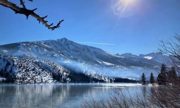
Snowpack at mid-elevations across Montana disappeared well ahead of schedule this winter, with most remote automated weather stations recording their earliest or second-earliest melt-out dates on record. That early transition to runoff has left soils and fuels drying faster than normal heading into summer, a key driver of fire danger.
Drought conditions are widespread across the eastern two-thirds of the state. As of a recent U.S. Drought Monitor assessment, extreme drought had intensified across southwest Montana and was expanding toward the eastern portions of the state. Only the region west of the Continental Divide has largely escaped drought so far, aided by heavy rainfall in the past week that has kept fire danger near normal levels in that area for now.
Eastern Montana, Bitterroot at Greatest Risk
Dan Borsum, a meteorologist with the U.S. Wildland Fire Service, briefed Gov. Greg Gianforte’s administration on the forecast outlook. Eastern Montana faces above-normal fire potential running through July. The southwest part of the state is expected to see conditions deteriorate as vegetation cures in the heat.
“And then in July we begin to see concerns develop in southwest Montana after the curing of some fuels, and that spreads into the Bitterroot in August,” Borsum said.
June is projected to be notably warm statewide, which will accelerate the drying of vegetation and push fire danger higher in areas already stressed by drought. The Bitterroot Valley, historically one of the state’s most fire-prone corridors, is expected to face elevated risk by midsummer.
A Possible Late-Season Wild Card
One factor that could alter the picture: an El Niño pattern developing in the eastern Pacific Ocean. Meteorologists say that system may funnel additional moisture into Montana by late summer, which could temper conditions heading into fall. However, that outcome remains uncertain, and officials are not counting on it to offset the dry start to the season.
Human Behavior Remains a Critical Factor
Officials at the briefing pointed to a sobering statistic from last year: three-quarters of the wildfires that burned across Montana in the previous summer were caused by human activity. That figure places significant weight on individual behavior in determining how severe the 2026 season becomes.
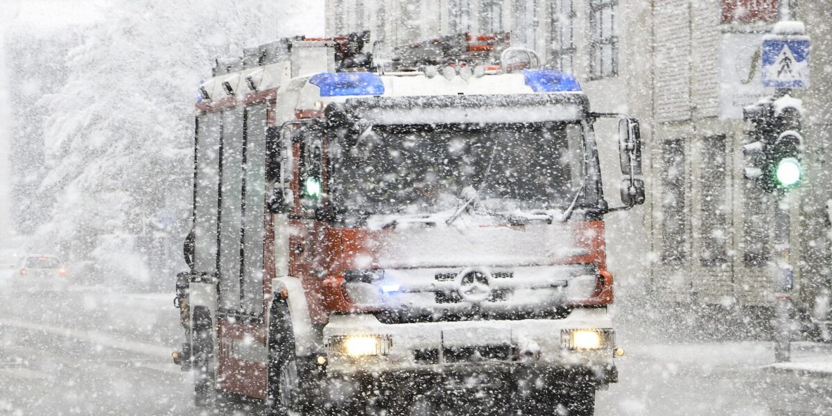
Governor Gianforte urged residents to exercise caution while recreating outdoors and to take steps to protect their homes and properties before fire danger peaks. State, local, and federal fire managers pledged coordinated interagency response and a focus on aggressive initial attack when new fires ignite — a strategy aimed at keeping small fires from growing into large ones.
The emphasis on early suppression reflects lessons learned from previous seasons, when understaffed initial responses allowed fires to establish themselves in difficult terrain before containment resources could be mobilized.
Looking Ahead
The combination of record-early snowmelt, widespread drought, and above-normal heat creates a volatile baseline for the coming months. Whether the El Niño pattern delivers meaningful late-summer rain will likely determine how the season is ultimately remembered. In the meantime, land managers and emergency officials are urging Montanans to stay attentive to fire restrictions and take seriously the conditions shaping up across the state.
Montana’s public lands draw millions of visitors each year, and federal infrastructure at parks including Glacier and Yellowstone is already strained by years of deferred maintenance — adding another layer of complexity to emergency response planning as the fire season advances.